Rte.1 closed at Palo Colorado Road
Access from north by twice-daily convoy only
Map
More
USFS closures in effect
Flash flood and debris flow warning for 2020/21 burn areas effective Saturday
More info
Willow Fire Status
Fire 100% contained
Closure order in effect
Willow Post-Fire Closure:
for Marble Peak Trail
Dolan Post-Fire Closures:
for Nacimiento-Fergusson and South Coast Ridge Roads - also trails in J.P. Burns and Limekiln State Parks
Full USFS Forest Closure
Entire Los Padres NF closed
through September 22
Closed State Parks:
Limekiln SP
(except for beach)
Recent trail closures:
Kirk Creek Trail, until end of July
Recent road closures:
Slides have closed Route 1 between Gorda and Ragged Point - may last til Nov. 3. Check CalTrans for latest info.

Rte.1 Big Sur full closure
CLOSURE INFOTrails & Roads
USFS & State Parks
LATEST TRAIL REPORTS17
updates in last 60 days
Latest below, click for all
May.30
Pine Ridge Trail
TRAIL NEWS
12
items in last 60 days
filled by index.html js
Jun.27 Rte.1 overnight closure at Rocky Creek Bridge : Jun.29-30…
from 10pm Jun.29 to 6am Jun.30
More Info
SITE NEWS
3
items in last 60 days
filled by index.html js
Wanted:
Gpx track of Lost Valley Trail, Upper Higgins to Pelon Camp
More Info
Trail conditions/closures
are shown on:
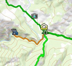
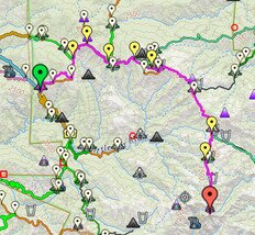
Interactive Big Sur Trailmap
Interactive Trail Conditions map
Interactive Route Metrics map
Google Earth overlay
are optionally shown on:
Printed maps
PDF-format maps
are not shown on:
Garmin-format maps
Smartphone map tiles


 Search this website
[Finds words in webpages]
Search this website
[Finds words in webpages]