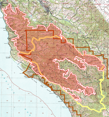
The recent Timber and Plaskett wildfires, with the former re-burning some of the area burnt by the 2016 Soberanes Wildfire [July-October], brought back memories of that fire.
Contains panorama photos
best viewed on wide screen
or in landscape orientation
best viewed on wide screen
or in landscape orientation
THE UGLY
December 2016, two months after end of the Soberanes fire, found Maria Ferdin (as a VWA Volunteer Wilderness Ranger) and myself backpacking to Pat Spring from Bottchers Gap to survey and photograph the fire damage (under USFS auspices since forest closure order was still in effect).
It was ugly, disheartening to see places I was familiar with and loved so badly burnt. The Soberanes burnt ‘hot’ in many places – burning much which had survived all previous fires,
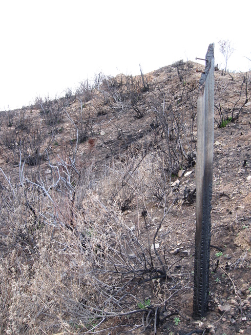
including a favorite of mine, the historic “lost Rattlesnake Trail” signpost.
Unburnt sign – with bolt from lost trail signboard
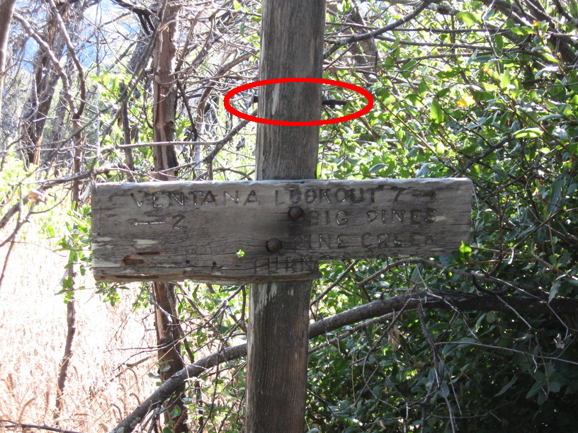
Burnt signpost – but bolts remain
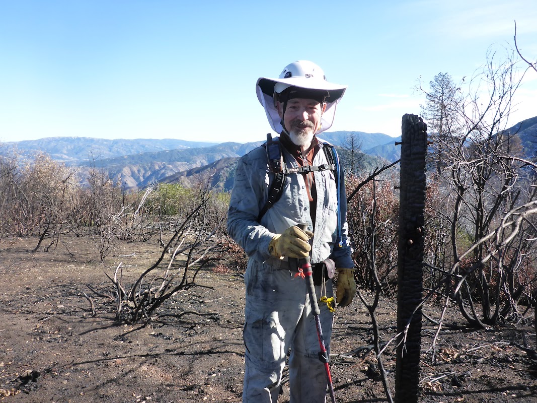
Photos from that hike
from Maria Ferdin
An ugly landscape – ridgeline to Pat Spring
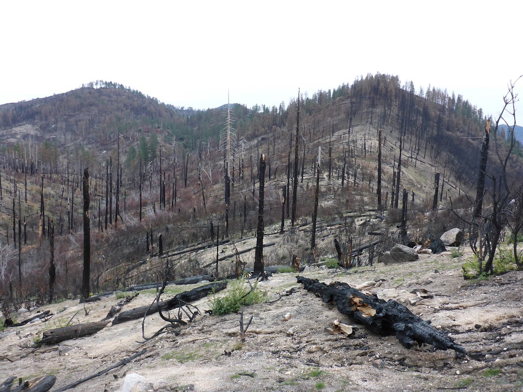
Skinner Ridge stubble 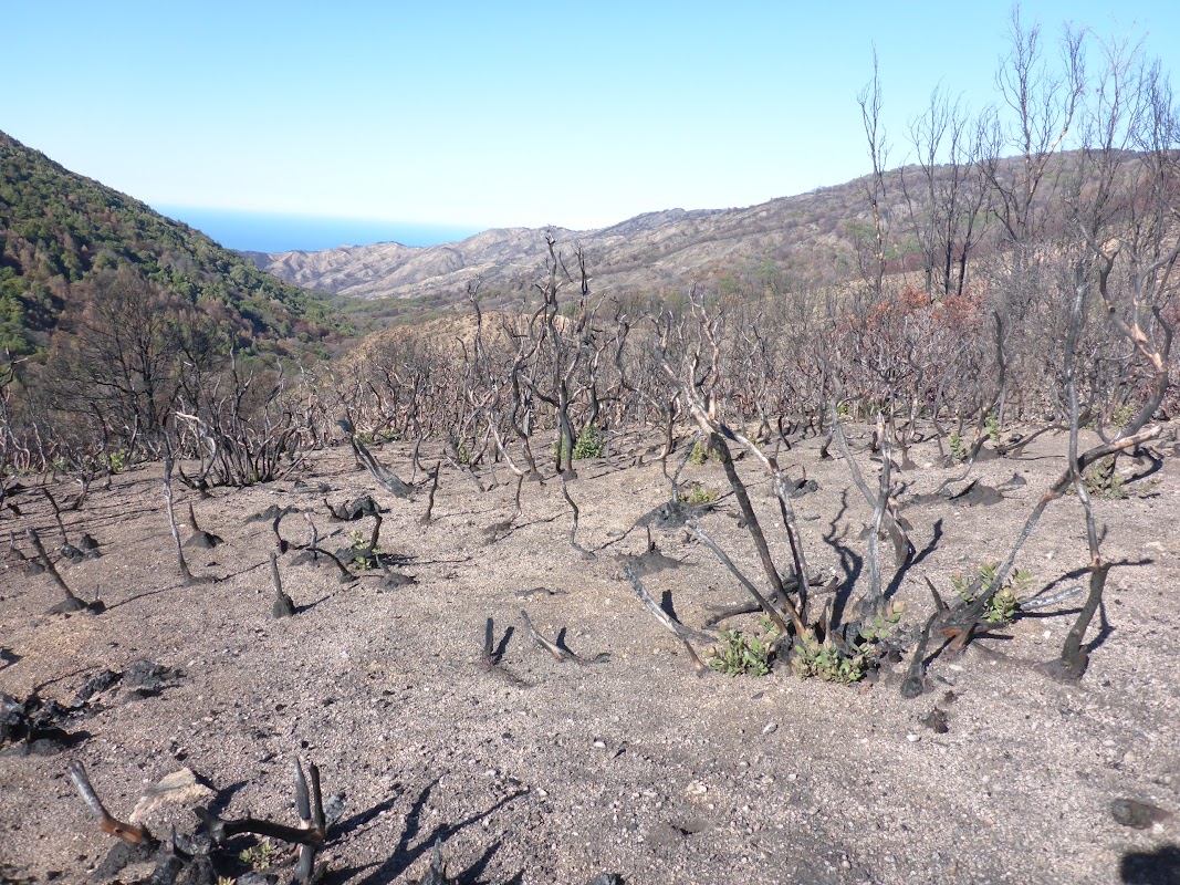
Panorama
Little Pines ridge
(can use mouse to stop/drag)
Little Pines ridge
(can use mouse to stop/drag)
Panorama
Big Pines is gone
(can use mouse to stop/drag)
Big Pines is gone
(can use mouse to stop/drag)
I later made a “photomap” to display photos taken along the route – you can view (with LOTS of ugly photos and panoramas) at:

Use top-left  to advance
showing photos along trail
to advanceshowing photos along trail
THE BAD
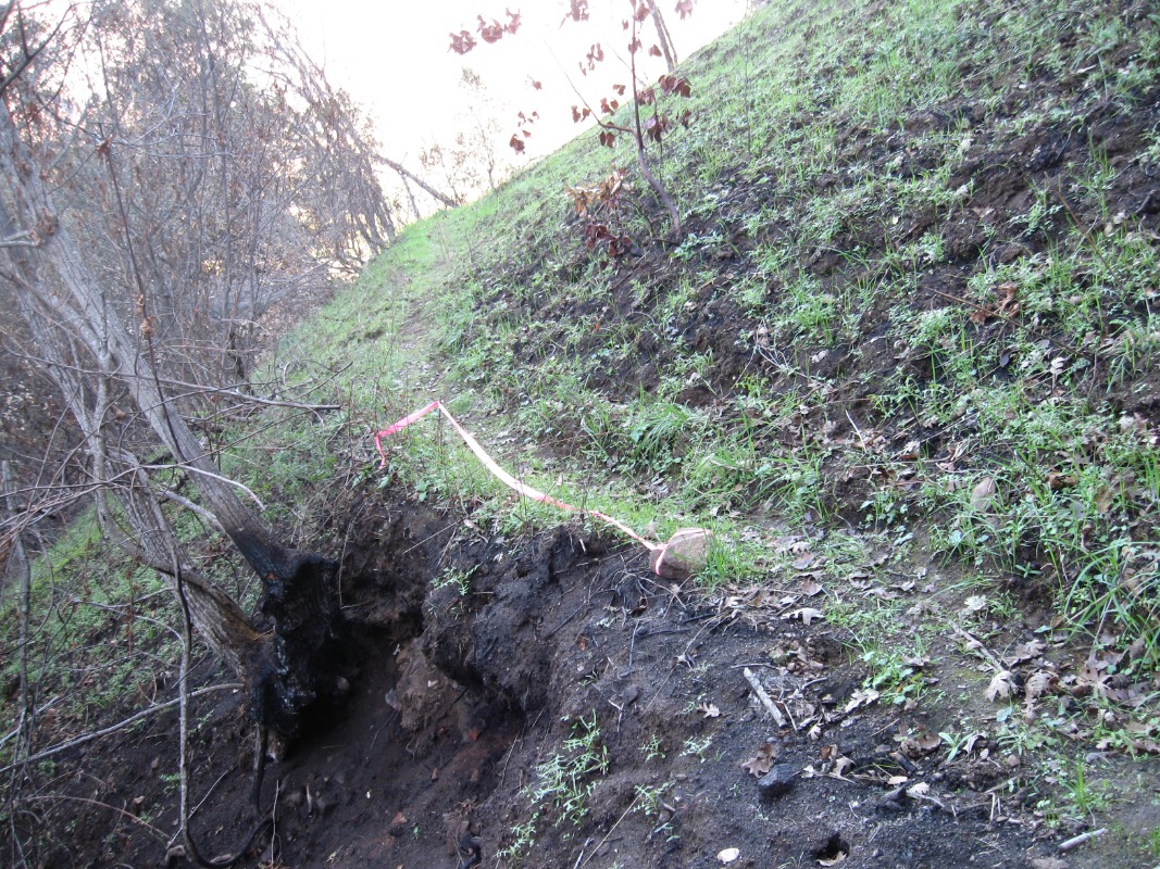
In December I also led a Meetup hike from Los Padres Dam along Big Pines Trail to the the serpentine rocks which give that ‘Blue Rocks Ridge’ its name. This area was on the edge of the Soberanes burn so while hiking through the burnt area could see unburnt neighboring areas with their promise of future recovery.
Photos from that hike
from Jack Glendening
Burnt sign post
Burnt brush with regrowth
Panorama
Blue Rock ridge with serpentine
Cleared by dozer for firebreak
(can use mouse to stop/drag)
Blue Rock ridge with serpentine
Cleared by dozer for firebreak
(can use mouse to stop/drag)
Panorama
Unburnt areas in the distance
(can use mouse to stop/drag)
Unburnt areas in the distance
(can use mouse to stop/drag)
THE GOOD
Some good did result from the Soberanes fire, notably in the explosion of flowers following the fire – including seldom seen “fire-folling” plants. And in clearing brush from some trails previously nigh-unto-impossible to hike.
So nineteen months after the Soberanes fire, Maria Ferdin and I took that opportunity to backpack along the Black Cone Trail, which previously had been overgrown with very discouraging (and very few) trail reports but now was very do-able.
Photos from that hike
from Maria Ferdin and Jack Glendening
Harlequin Lupin
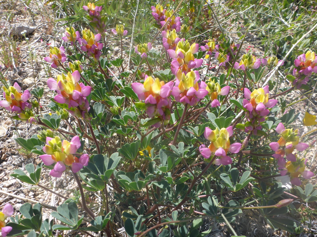
Fire-following Redray Alpengold
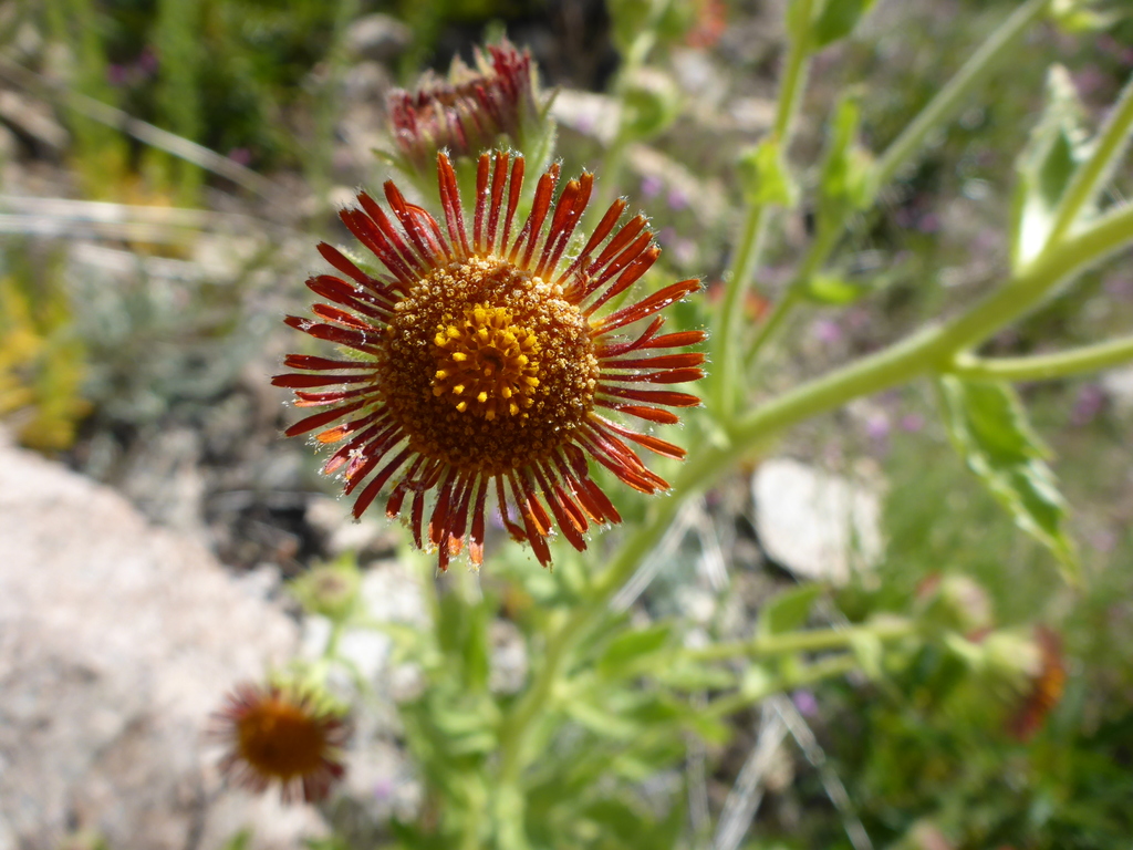
Flowers along Black Cone Trail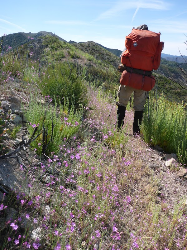
Panorama
Black Cone far ahead, La Ventana far behind
(can use mouse to stop/drag)
Black Cone far ahead, La Ventana far behind
(can use mouse to stop/drag)
Panorama
Nearing White Cone
(can use mouse to stop/drag)
Nearing White Cone
(can use mouse to stop/drag)
I also I made an “photomap” (different format from the previous) to display photos taken along that route – you can view (with lots of flowers and many panoramas) at:

Hike was in burnt and un-burnt areas
Gray overlay indicates burnt area
Use top-right to advance
showing photos along trail
Gray overlay indicates burnt area
Use top-right
to advanceshowing photos along trail
THE HISTORY
Animated map of Soberanes Fire burn scar [June 24 -October 13] – click ‘Loop’ button to start day-by-day time-lapse of burn progression(previous day burn = white line, new day burn = red line) . Note erratic growth spurts.
Click ‘Loop’ button to start time-lapse display of burn
Red & white lines = current & previous day perimeters
Orange fill = intense current day burn
Red & white lines = current & previous day perimeters
Orange fill = intense current day burn