(with Paul Danielson)
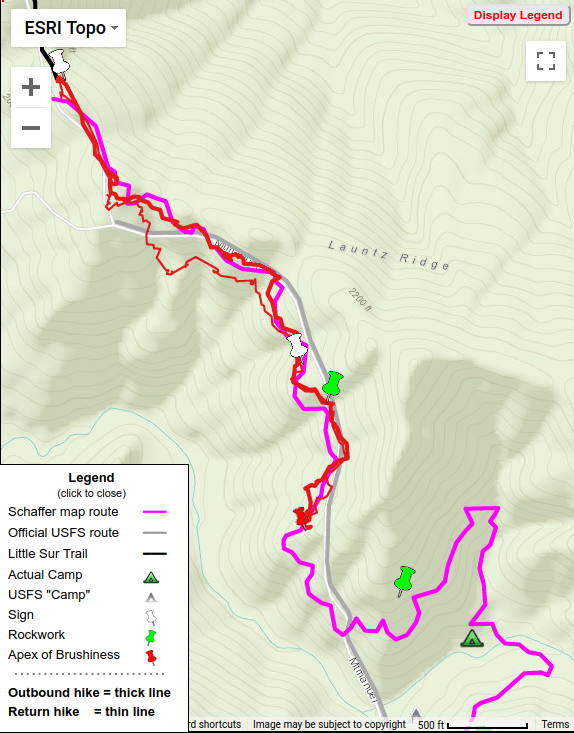

Above is screenshot – Click for Interactive map


From the parking lot, the initial route went up a steep water tank access road (the scouts named it “Cardiac Hill”) before a sign led to the start of the trail proper.
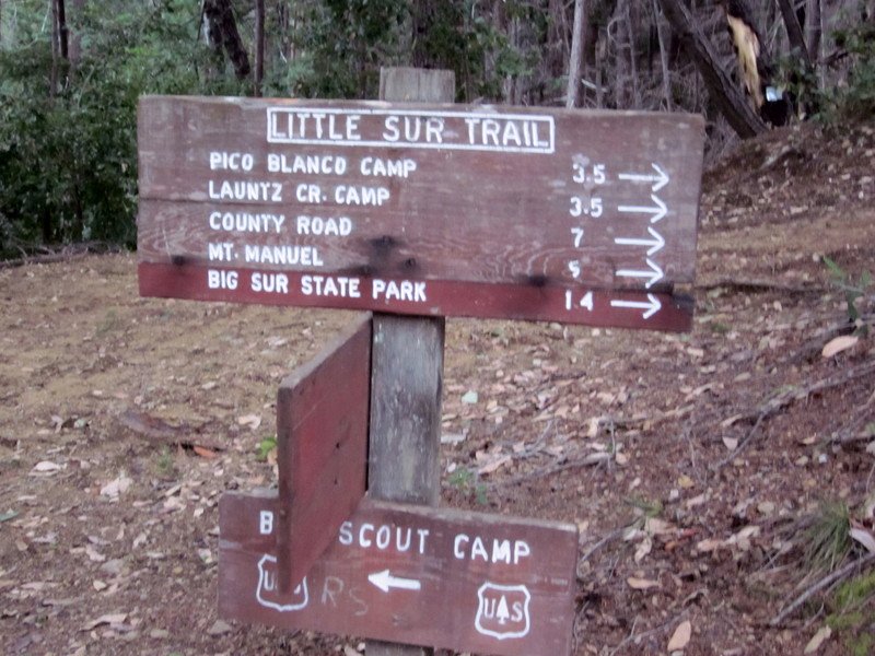
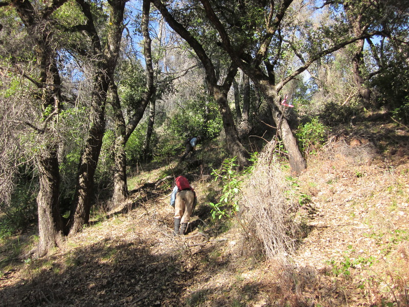
The Little Sur Trail led steadily upward with many switchbacks, under redwoods and oak trees. It was in rough shape, requiring multiple deviations to avoid downed trees or brush in the trail, but with apparent tread.
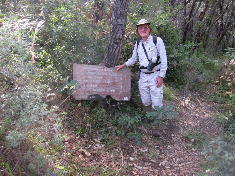
After 2 ¼ miles, gaining 1300 feet, the Mount Manuel trailhead sign appeared, on the ground.
Heading out, initially some tread was apparent but that soon petered out.
-30_Launtz2/IMG_6338.georef.jpg)
-30_Launtz2/IMG_6295.georef.jpg)
We continued on the same heading, on north side of the ridge, now trying to roughly follow Schaffer’s map route on my GPS. Crossing the ridge where Schaffer seemed to indicate, magnificent Pico Blanco came into view as we headed down the slope.
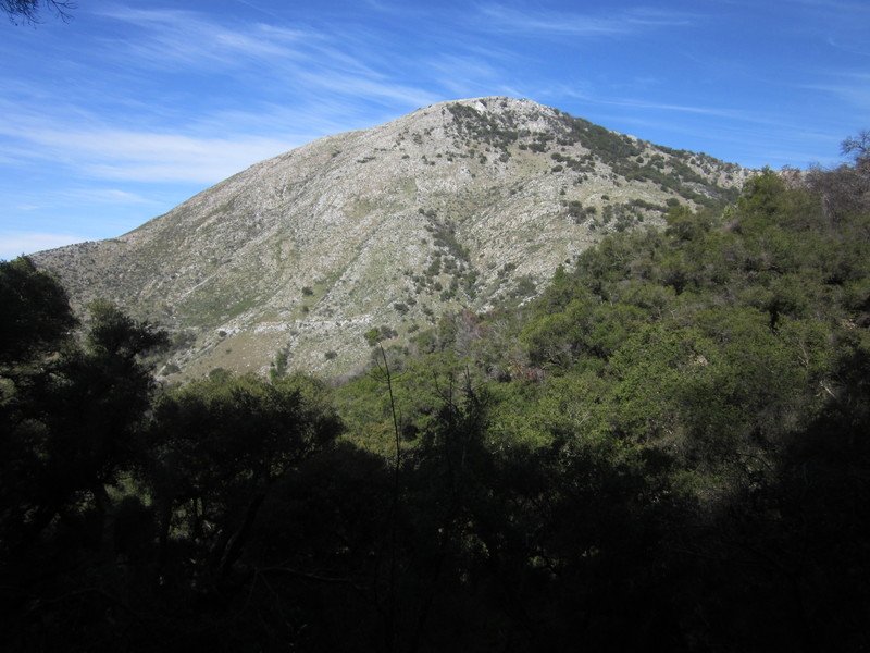
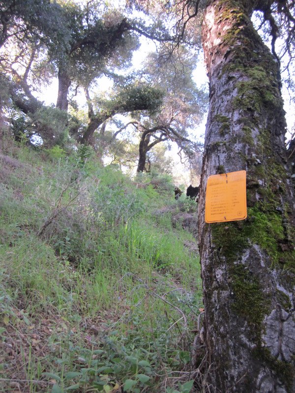
This side of the ridge was thankfully less brushy but still without apparent tread or other clues such as cut branches, so we continued to roughly follow Schaffer’s route on the GPS. Our “eureka moment” came 0.6 miles from the sign – we found a ‘Bearing Tree’ sign posted on a tree! The only such a sign I’ve found in all my hiking! It was a badly needed confirmation that we were actually on the old trail route.
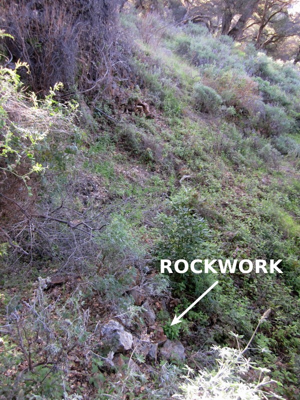
Then 600 feet later we found some rockwork, more evidence of the old trail.
To this point the brushiness had been manageable but was worsening. And ¼ mile later, at a corner where the trail changed its general direction, we hit a thick wall of head high branches and brush. Not able to see to the other side, hunting for a way through or around on the steep hillside brought no joy – so we sat to eat a late lunch and talk. Not being spring chickens, Paul 72 and I 65, we were tired. We’d gotten a late start and it was now 2:30, so decided this was good point to stop, to get us back to the car around sunset. We’d hoped to reach Launtz Creek Camp, but that clearly was not going to happen. We started calling that wall the “Apex of Brushiness”.
The return trip took a detour when Paul thought he spied a track differing from where we’d come down, perhaps a more correct route, so followed it. But it ended up leading down, just another game track of the many out there. So we bushwhacked up the slope to get back on our outbound track. Daylight was short, we had to race down the Little Sur Trail to get back to the parking lot before sunset – the light faded as we reached Bottchers Gap and drove home in the dark.
Total hike time was 6.0 hours. Outbound distance along Mt. Manuel Trail was 1.0 mile (3.2m iles from parking) – not very far, but a start. And showing us what we were up against if we pursued this further. A sense for the roughness of trail and hike difficulty can be seen in our hiking speeds: 1.6 mph (steep uphill) and 3.3 mph on our outbound and return legs along the Little Sur Trail but slowing to 0.62 mph and 0.53 mph respectively on the Mount Manuel Trail route.