Hike date: October 6, 2017
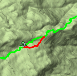
(click to view interactive map)
Hearing that a section of the Carrizo Trail below Carrizo Spring Camp has recently been re-routed (see map), I went out to see what the new section looks like and GPS the new route. I found the trail has been moved out of the paralleling gully, into a drier environment. It should be subject to less overgrowth and easier to maintain – a definite improvement.
While I was out there, I decided to reprise my first Carrizo Trail mapping hike. That 2009 hike was motivated by wanting to find exactly where the trail went, since I’d found different routings on different maps. This hike would be more leisurely, for there has been significant trailwork along the entire trail since them. Back then there was much crawling in brush tunnels and much searching to find the trail – this time I only had to search once and never had to crawl! So I had more opportunity to look around and appreciate the trail and this hike and it was much more enjoyable.
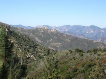
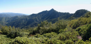
The hike up to the first saddle gives wonderful views over Junipero Serra and the San Antonio River valley.

It’s a favorite hike of mine, normally stopping and returning when reaching the saddle. [a previous hike’s pano photo with snow on Junipero Serra]
Continuing onward this time, I found the rock formations to be particularly prominent when viewed from the backside of the ridge. The section between the first and second saddles is notorious for its overgrowth and “brush tunnels”. In 2009 I was often forced to crawl, but this time recent trailwork allowed me to hike upright and enjoy the views.

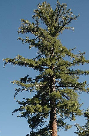
Beyond the second saddle the ecology changes dramatically, to a Sugar and Coulter Pine ecosystem on the north-facing slope.
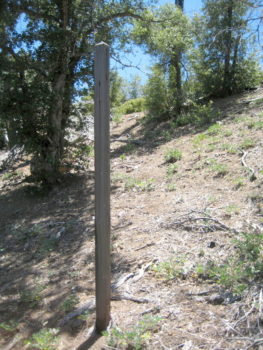
My hike ended just beyond the post marking the junction with the Cook Spring Connector Trail. Back in 2009 the junction was marked by a burnt post, now it is marked by a replacement post (albeit without any signs!).
Climbing the short distance up to the third saddle, my reward was a view of Cone Peak. I then headed back from whence I came.
The Carrizo Trail is a wonderful hike. You get different views of the Ventana along its route – west to Junipero Serra, north to “The Rocks”, and west to Cone Peak – and you move from sandstone and chaparral to Sugar and Coulter Pine ecosystems. It’s also a historical route, long used by Big Sur homesteaders needing to visit Jolon or King City – it became lost for many years until restored by and Steve Chambers and VWA trailworkers. Now is a good time to hike it since it is in good shape – who knows what the future will bring.
