Hike date: December 26, 2017
Black Butte semi-bushwhack: views from the fifth-highest Ventana peak
Hike date: December 26, 2017
I encourage you to go out to Black Butte to see its view for yourself. It’s readily accessible, unlike viewpoints which require a long hike or multi-day backpack – only a 1.5 mile hike from Tassajara Road. But the catch is – the use trail that had previously led to the peak has not been worked on for years, so it is now overgrown and not apparent. There is no tread! I call it a semi-bushwhack because there is a route, largely following the old usetrail, which is not too brushy – so long as you stay on it.
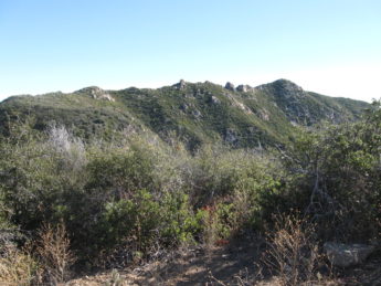
(click for larger image)
The route starts from a turnoff on Tassajara Road, the first 0.4 mile being along a newly cleared road – a bit narrow for a vehicle (motorcycles have been using it), but it makes for an easy walk.
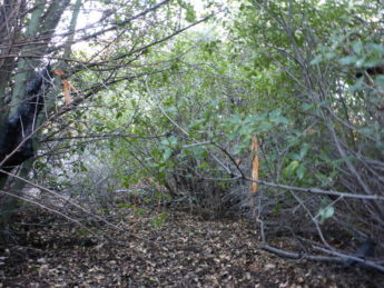
(click for larger image)
That “road” ends where the ridge drops and you descend into ceanothus chaparral. The brush is above head height so you have to find its clear places as best you can, roughly following the ridge.
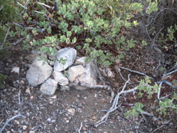
(click for larger image)
After 0.1 mile you reach a col and begin to ascend. If you are lucky, you’ll stumble upon a cairn remaining from previous times.
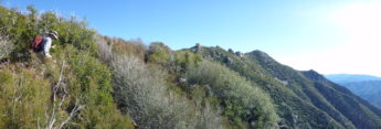
(click for larger image)
After another 0.25 miles of ascent the ceanothus becomes interspersed with manzanita and the brush height decreases, so you can see further and route finding becomes easier.
(click for larger image)
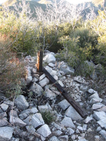
Shortly thereafter you reach the ridgeline, where the ascent rate lessens. You might find a downed burnt post there – its reason for existence is unknown (it’s not a fence post).
(click for larger image)
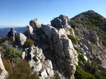
Another 0.2 miles of wending through chapparel gets you to the first rocky knob along the ridge. From here to the peak, 0.4 miles beyond, you must decide wither to go around, to the right or left, or over each of the knobs.
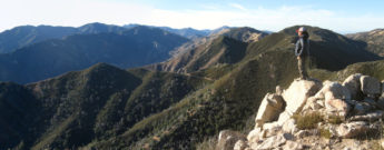
Finally reaching the top, you can relax and enjoy the view! I personally enjoy finding and naming all the peaks I can, some which I’ve been atop and others which I hope to reach some day.

(from a previous hike with a higher sun angle)
(click for MUCH larger image with annotation)
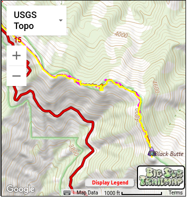
I’ve mentioned route finding “as best you can”. That is what I had to do my first trip there. But now I’ve been to Black Butte 4 times and by finding where I don’t want to go have put together a GPS route which works reasonably well, i.e. is less brushy than the alternatives. Since landmarks are hard to come by in tall chapparel, and since I’m 72 and need all the energy I can get, I make life easier by loading that route into my GPS.
I don’t try to follow it per se – GPS accuracy is only around 20 ft, which can be a large distance in thick chaparral. Instead, I follow my memory and what visibly looks good – but when I get blocked, as will assuredly happen, especially in the tall brush between the road end and the first manzanita, I use the GPS to see which direction I should move to get back on track. If you zoom in on the interactive map, you will see the tracks to and from the peak differ in detail – and both have dead ends, where I needed to turn around, and places where I got off route and had to push through brush to get back on track.
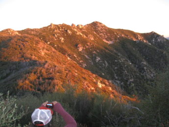
(click for larger image)
Moving slowly but steadily, it took Maria Ferdin and I two hours to reach the peak and the same to return. We spent over an hour on the peak, returning just as the sun set.
Being so high, Black Butte is visible from many places, if you know what to look for, and I enjoy trying to find it from other trails in the Ventana. So think about getting out there yourself. It’s a bit easier with a GPS route, particularly in the very brushy section before reaching the ridgeline, but more adventurous if you find your own route. If you do get there, I’d like to hear about it.
Thanks for the inspiration!
Lots of bits of old “trail”, lots of random gotta get through, and a few pieces of old dozer line.
The old dozer line is prominent in the 1994 GoogleEarth image.