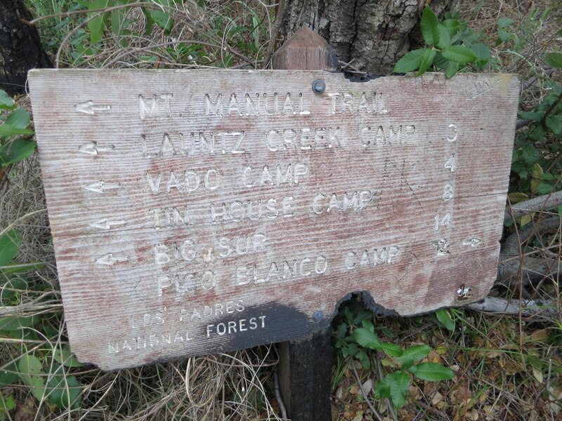
bypassing the “Apex of Brushiness”
and lots of photos of brush
(with Paul Danielson, Maria Ferdin, and Burke Siedhoff)
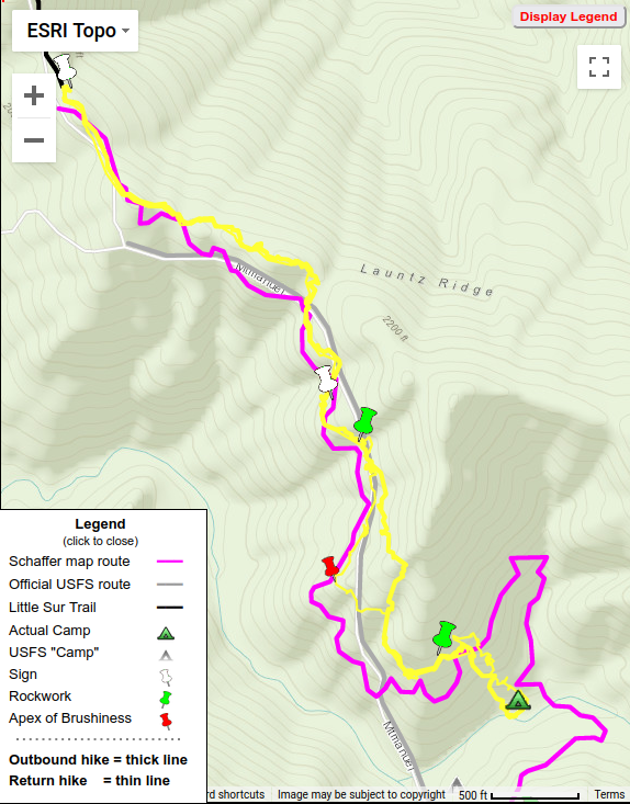 Hike 3 = Yellow
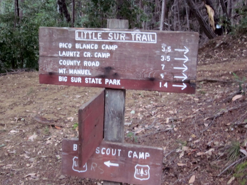
Again heading up Little Sur Trail,
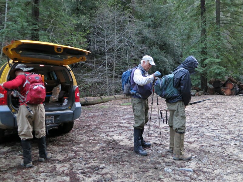
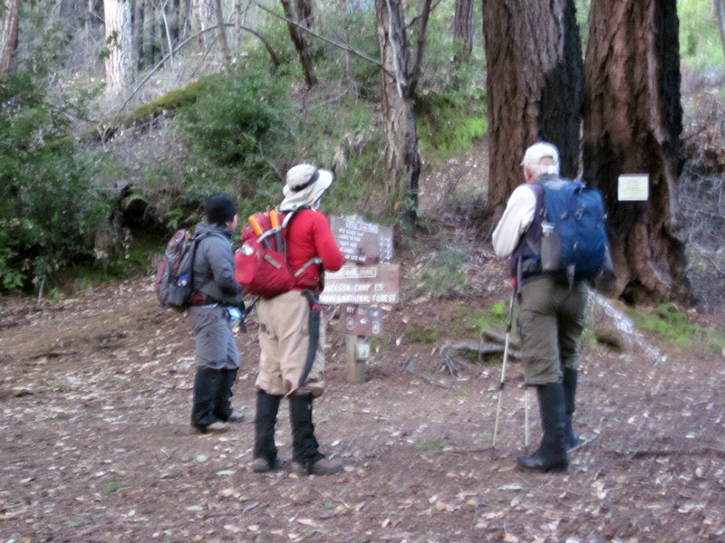
in much better condition than on our first hike in 2012, thanks to some recent VWA trailwork,
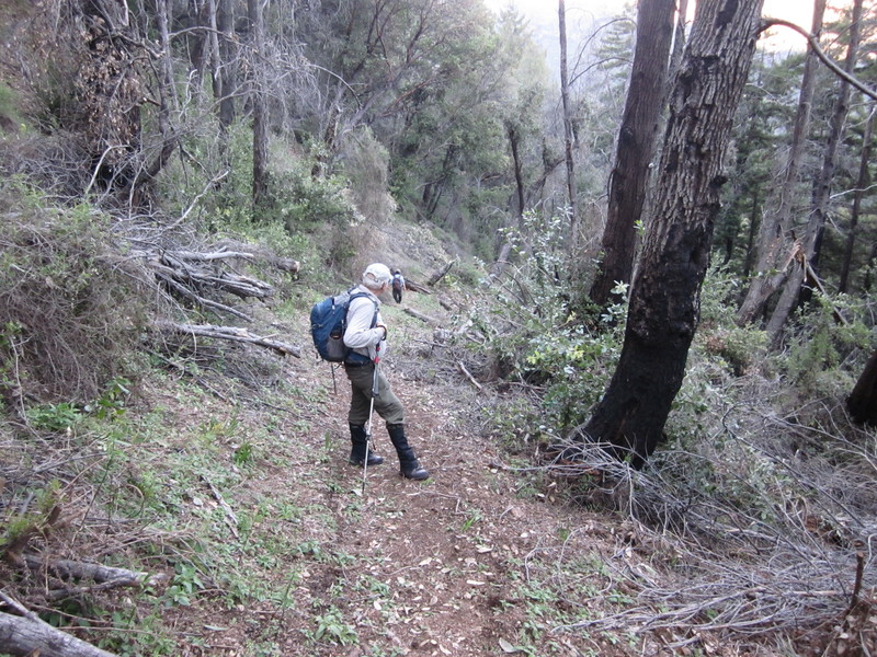
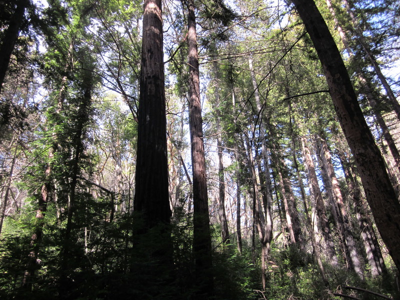
we reached the northern end of the Mount Manuel Trail.
The change in trail condition was immediately apparent
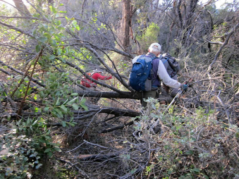
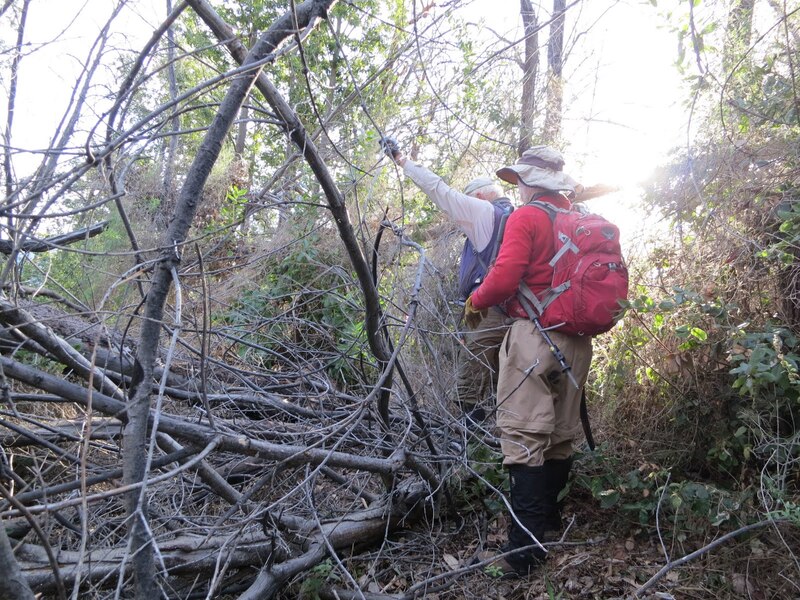
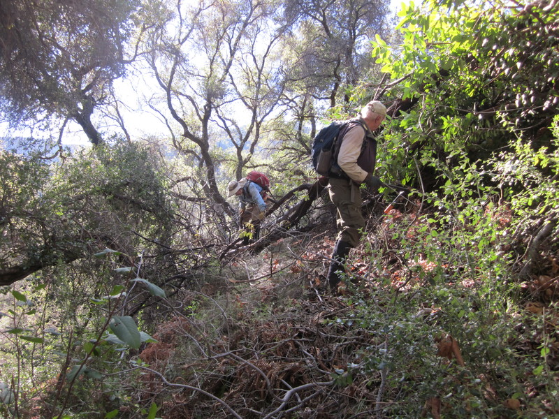
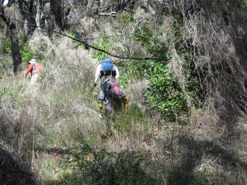
bringing out our loppers and saws.
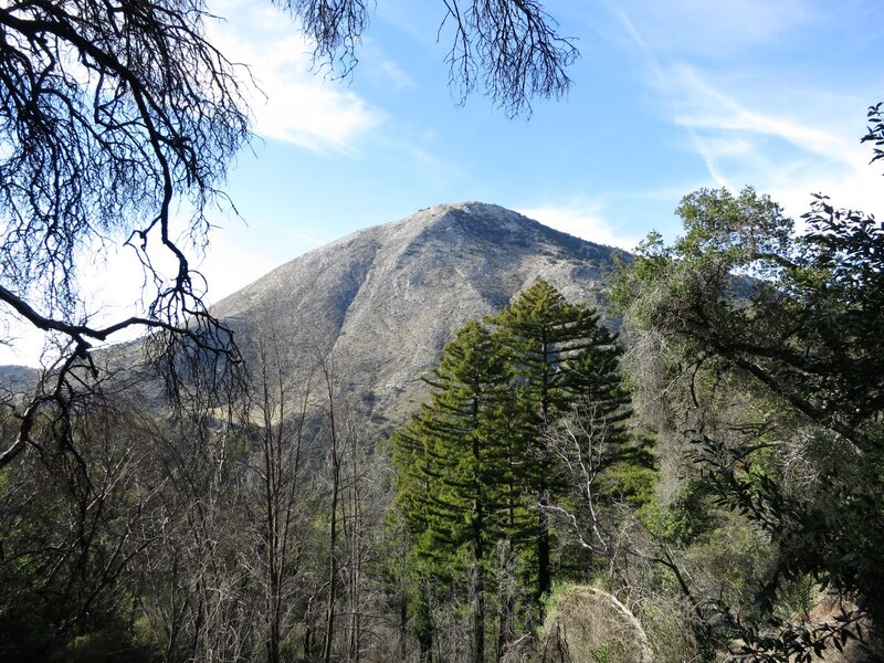
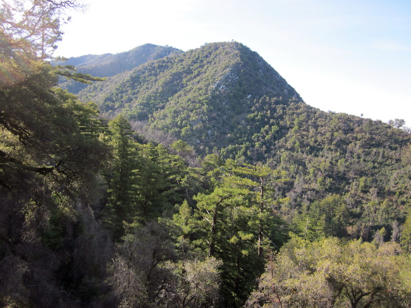
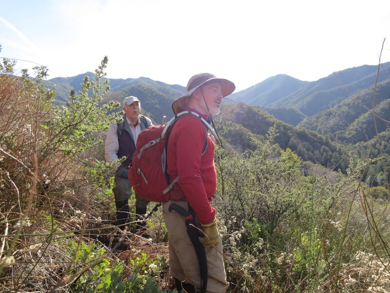
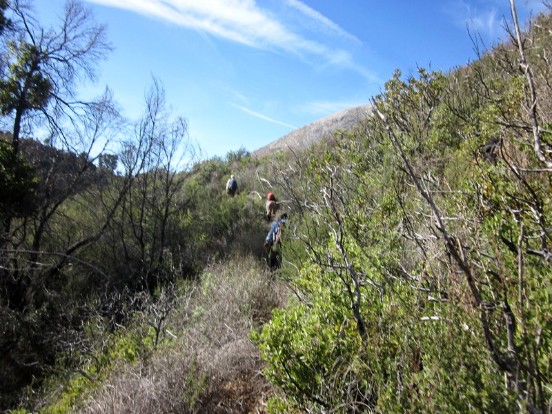
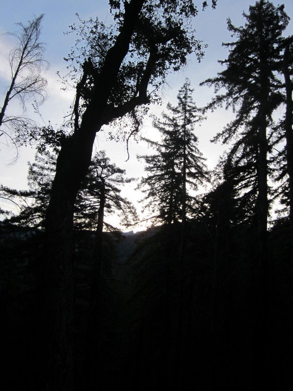
As we crossed over the ridge, we got a view of Pico Blanco
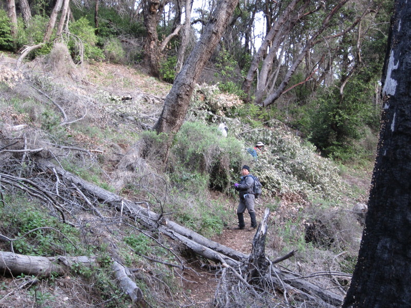
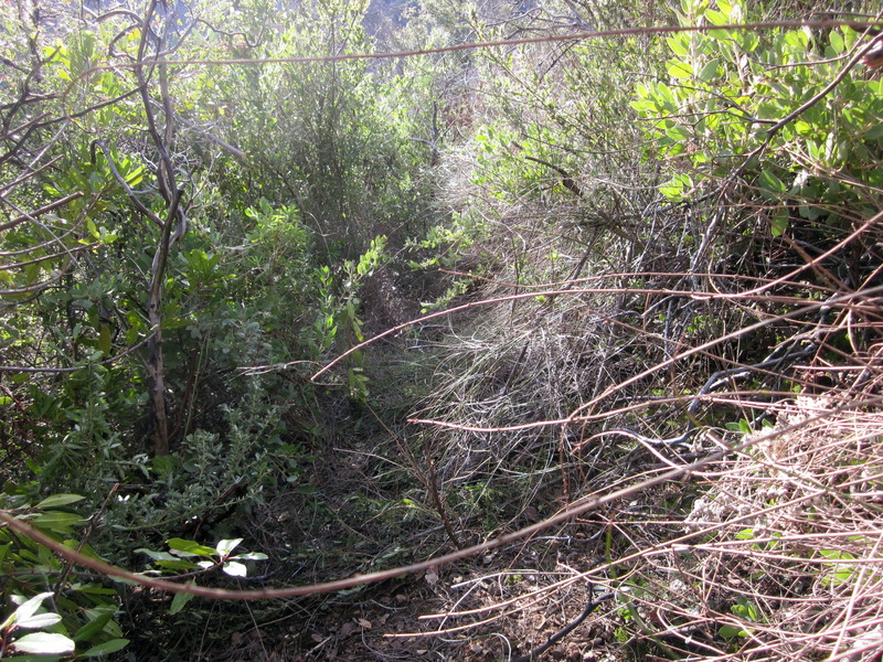
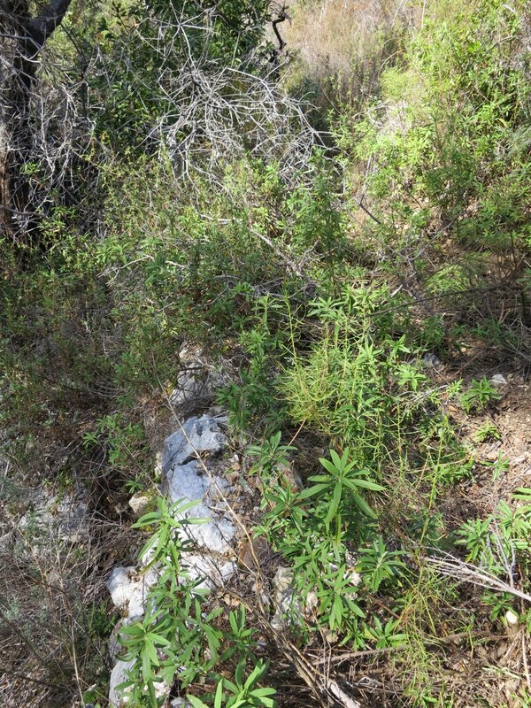
and the trail was much less brushy, though also with less tread to follow
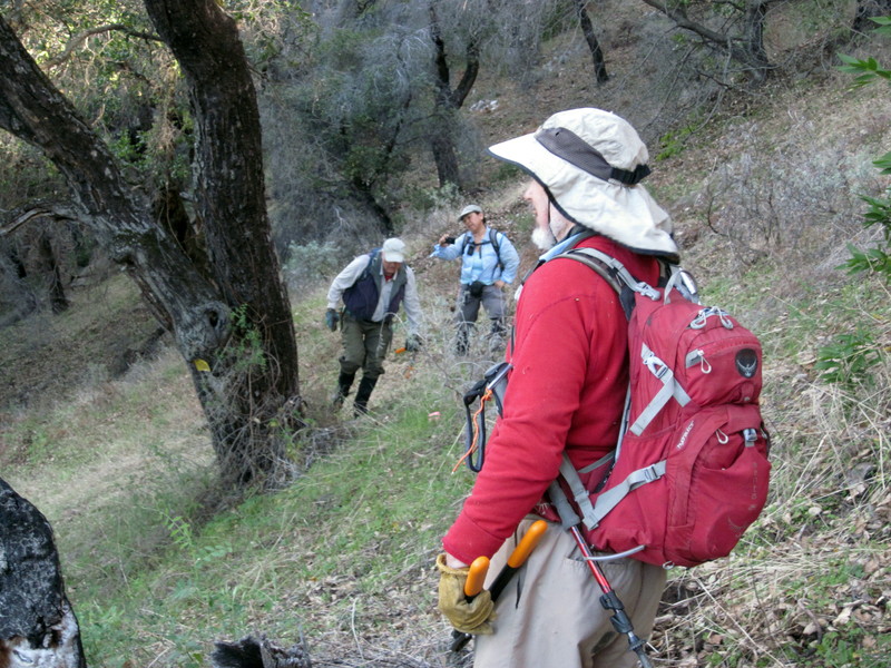
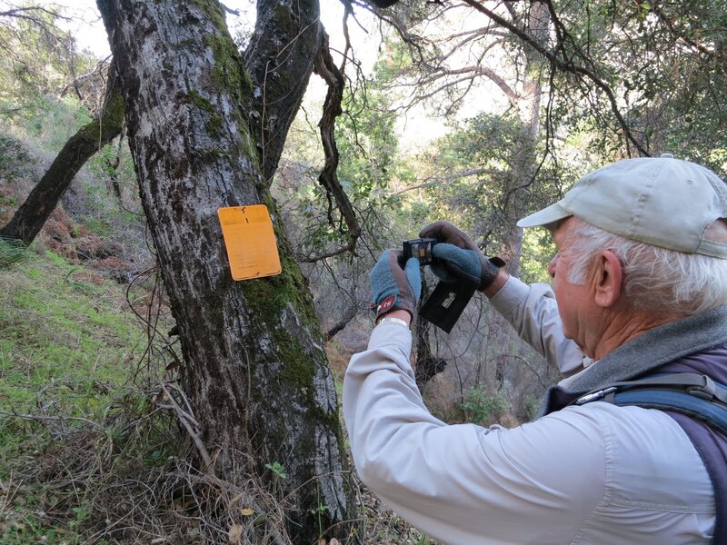
yet helpfully marked by the noteworthy boundary tree marker.
HOWEVER our past hikes had always been difficult around the “Apex of Brushiness” SO this time I wanted to try bypassing it, shortening the route via a bushwhack. Past the trail-identifying rockwork, we headed upslope and over the ridgeline – giving a good view of the Little Sur River drainage
then down to the trail again and more brush
and again finding the old trail-marking rock wall.
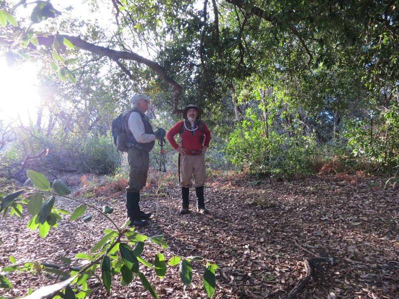
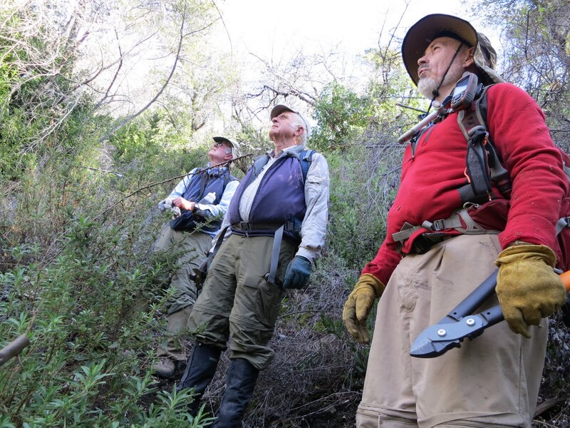
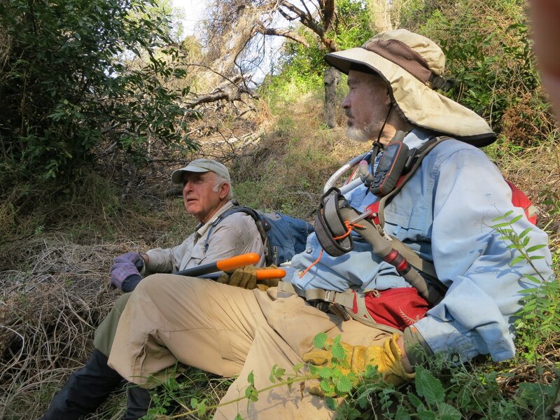
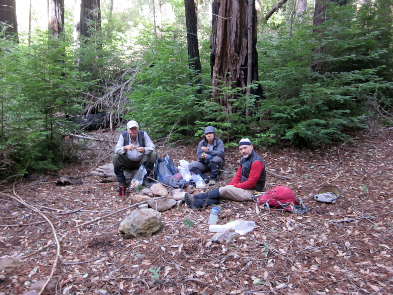
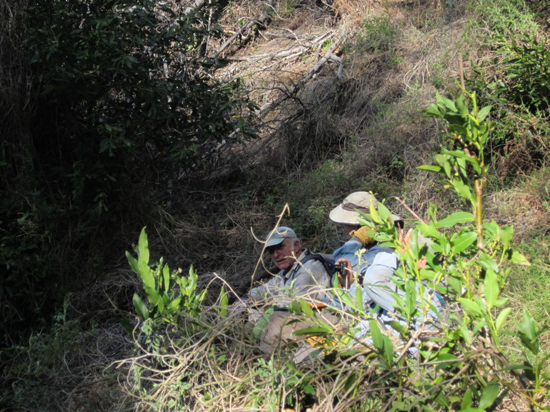
Even resting occasionally.
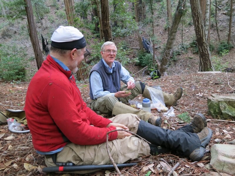
Then leaving the trail to bushwhack down slope to Launtz Creek
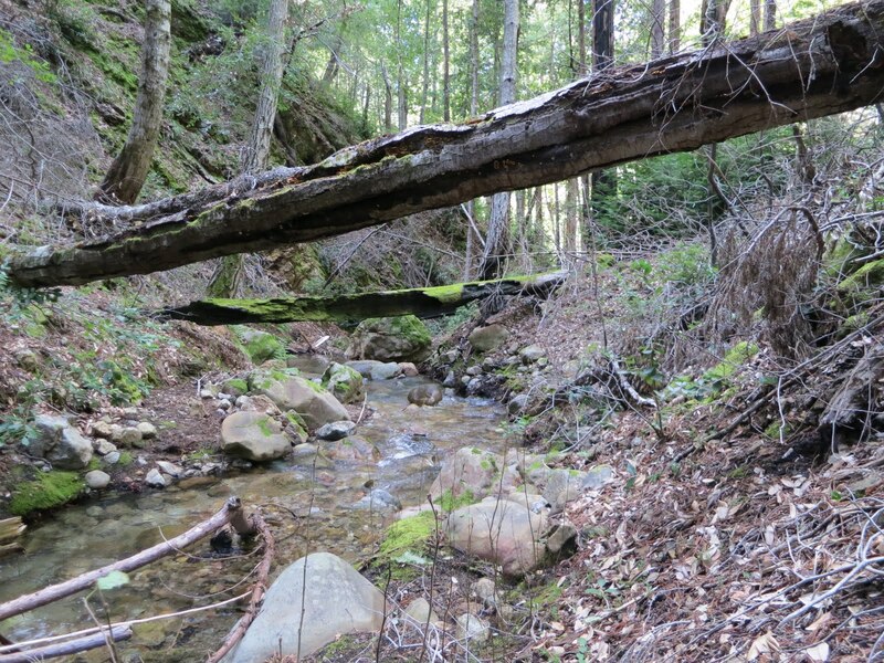
and Launtz Creek Camp
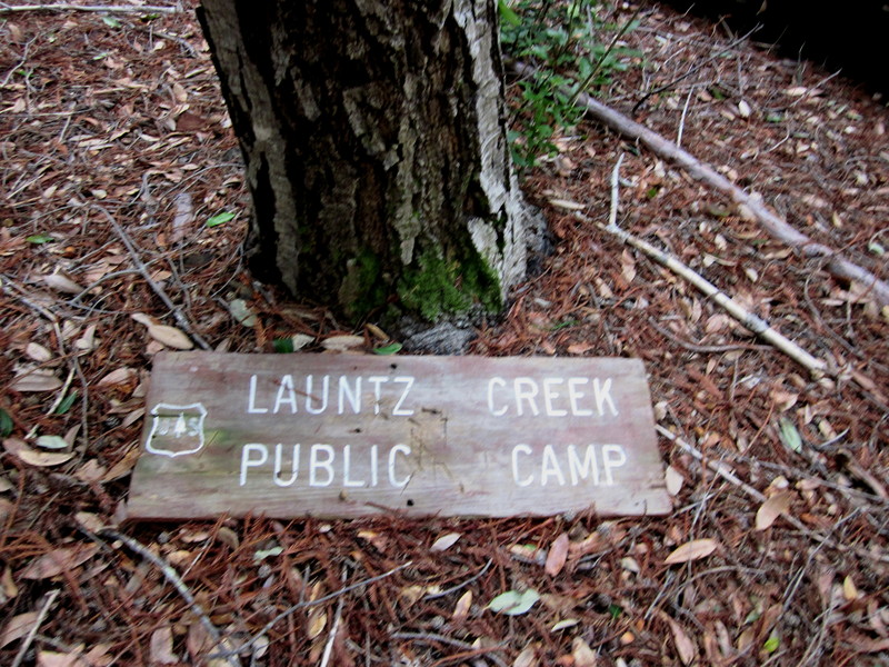
where we enjoyed lunch, rest, and conversation.
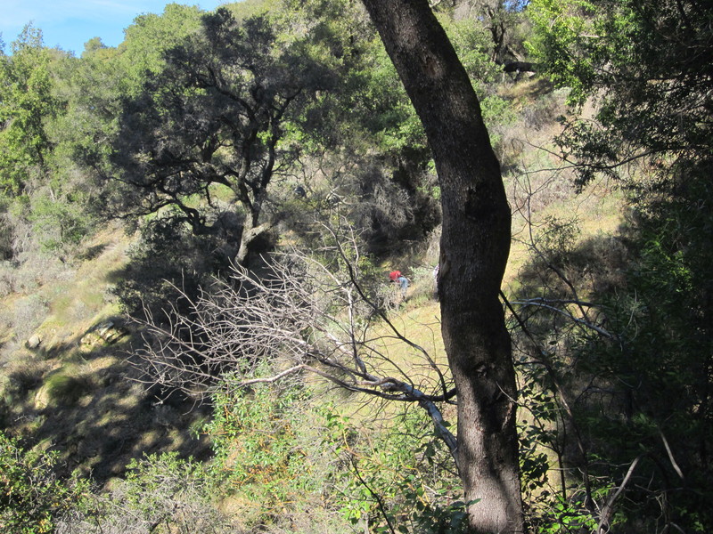
Afterward, bushwacking upslope to find the trailbed
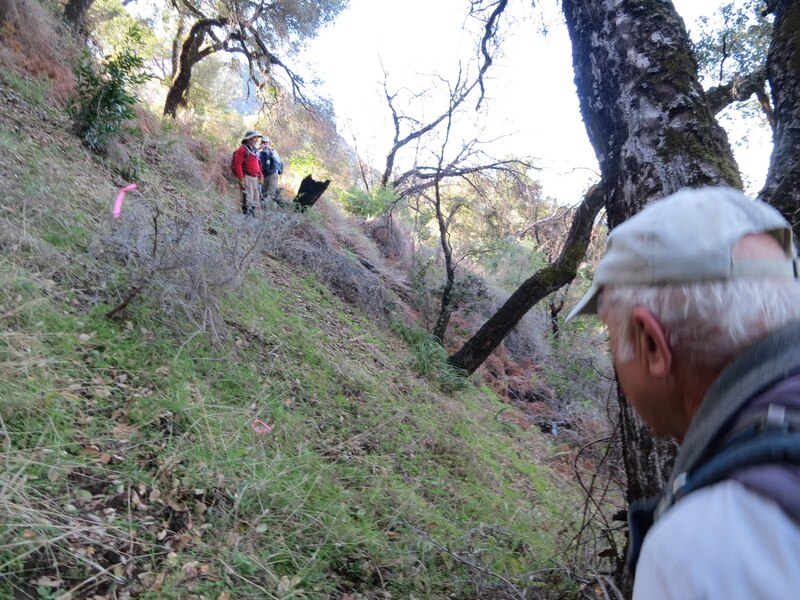
our trek back was aided by our outward-bound trail clearing (find the
people).
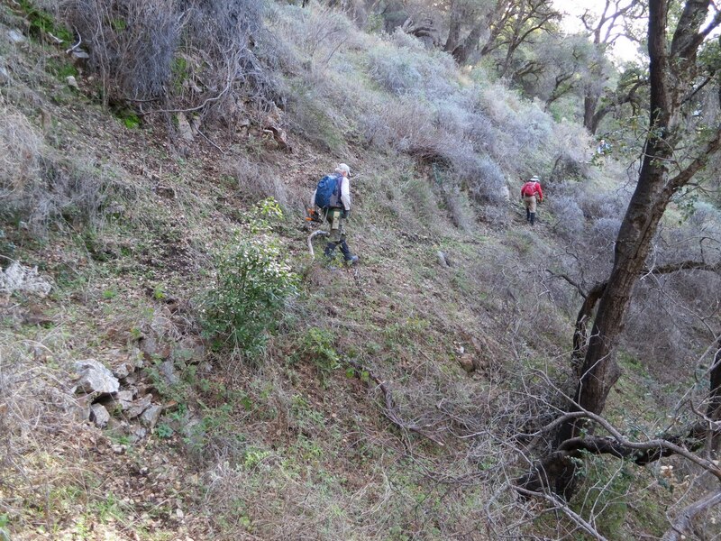
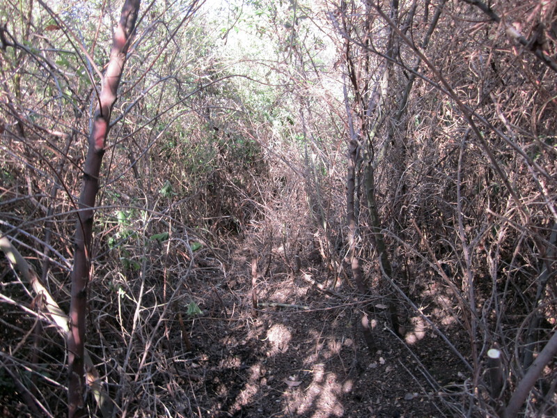
This this time we DID go through the “Apex of Brushiness”, hacking away at it a bit more – no actual photo, due to too much brush, but two preceding sections are shown below
after which we needed a rest
before continuing and returning just before dark.
Total hike time was 9.6 hours. A sense for the roughness of trail and hike difficulty can be seen in our hiking speeds: 1.7 mph (steep uphill) and 2.0 mph on our outbound and return legs along the Little Sur Trail but slowing to 0.38 mph and 0.33 mph respectively on the Mount Manuel Trail to the camp.
Hope you have had your fill of brushy photos! Had more photos this time due to presence of Maria Ferdin and more pausing time since trail better cleared than on first two hikes, so wanted to better document the level of overgrowth back in 2013.
Photos by Maria Ferdin and Paul Danielson